15 spectacular hikes
Going on a mountain hike is almost mandatory when you are on holiday in Northern Norway
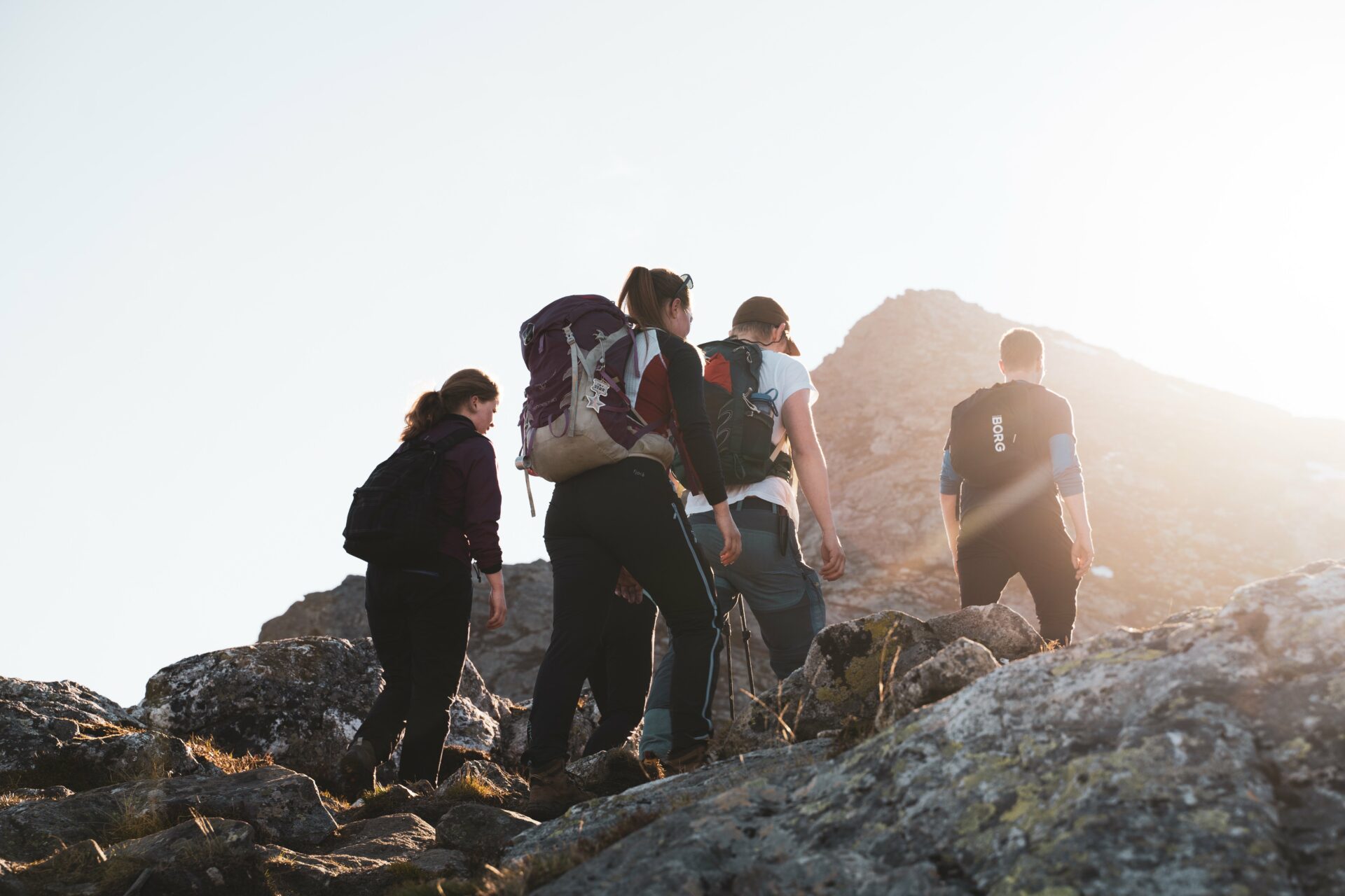
The Northern Norwegian Mountain peaks offer spectacular views that the pictures can hardly justify. The experience of scouting beyond some of the most beautiful nature in Norway gives a very special feeling of adrenaline and peace at the same time. Here are Bodø & Salten’s mountain hike favorites for the ultimate Northern Norwegian experience.
1. Sandhornet
Difficulty: Demanding, marked path
Lengde: 8 km t/r
Highest point: 1036 masl.
Time estimate: 5 hours round trip
Municipality: Gildeskål
Sandhornet stands like a symmetrical peak straight up from the sea in Gildeskål. From here you have a view of the crystal clear sea and the beautiful archipelago south in the Salten region. It is a demanding trip, but all the effort is worth it when you are at the top!


2. Per Karlsatind
Difficulty: Demanding, marked path
Length: 7 km t/r
Highest point: 1036 masl
Time estimate: 5 timer t/r
Municipality: Bodø
Per Karlsatind is one of the peaks among the iconic Børvasstindan mountain range. A beautiful walk with a view that will take your breath away. The walk itself will also do that to you, as it is pretty demanding. But, this is a well-attended peak that provides a lot of views for the effort.


3. Finnesfjellet and Finnesjuran
Difficulty: Medium, marked path
Length: 3.5 km round trip
Highest point: 506 masl
Time estimate: 3 hours round trip
Municipality: Gildeskål
Finnesfjellet is one of the finest peaks in Gildeskål, and has become a huge favorite among locals in Salten. Here you get a completely raw view of the coastal landscape from the top, and on the way up you just have to experience Finnesjuran. These are some spectacular mini mountain peaks that stand approx. 25m up from the ground. They are a wonderful sight – especially in the evening sun.


4. Ramsgjeltind
Difficulty: Medium, partly marked
Length: 16 km round trip
Highest point: 1234 masl
Time estimate: 8 hours round trip
Municipality: Beiarn
Majestic Rødøyløva provides an unforgettable view of the thousands of small and large islands in Rødøy. It is airy at the top, but the walk up goes on beautiful sherpa stairs. If you are heading north or south along Kystriksveien, this is one of the classics you should see along the Helgeland coast.
5. Sørskottind
Difficulty: Medium
Length: 4.4 km round trip
Highest point: 608 masl
Time estimate: 3 hours
Municipality: Steigen
Sørskottinden is located on the way out to Nordskot in beautiful Steigen. All the way up you have a unique view of Steigen’s beautiful coastal landscape with crystal clear sea, dozens of islands and chalk-white sandy beaches. From the top you look out over the majestic Skotstindan and Lofoten in the far end of the sea.


6. Trohornet
Difficulty: Medium
Length: 8 km round trip
Highest point: 650 masl
Time estimate: 4.5 hours round trip
Municipality: Steigen
This is truly one of the most beautiful summit hikes in scenic Steigen. From the top you look straight down at the long white beach Bøsanden and if you go in the evening you can just squint at Lofoten bathing in the midnight sun.


7. Straumklumpen
Difficulty: Demanding
Length: 5,5 km round trip
Highest point: 871 masl
Time estimate: 4 hours round trip
Municipality: Sørfold
Straumklumpen does not disappoint with its formidable view of the Lofoten Wall in the west, and the border mountains with Sweden in the east. In the south you can see Norway’s third largest glacier, Blåmannisen, and in the east lies Andkjelvatnet.
8. Seglfjellet
Difficulty: Medium
Length: 8.3 km round trip
Highest point: 647 masl
Time estimate: 6 hours round trip
Municipality: Beiarn
Seglfjellet is an airy peak with magnificent views. At the very edge, the rock wall goes straight down – so be careful!


 Kathrine Sorgard
9. Hatten
Difficulty: Demanding
Length: 6.6 km round trip
Highest point: 850 masl
Time estimate: 4 h
Municipality: Hamarøy
Hatten offers one of the most beautiful viewpoints in Northern-Salten, with a view of both the Vestfjord and Lofoten. It is located far from other mountains, and the sea view is therefore formidable! The mountain is the highest in its mountain range, and can be seen from almost everywhere north of Salten.


10. Glomfjellet
Difficulty: Medium / Demanding
Length: 4,6 km round trip
Highest point: – masl
Time estimate: – hours
Municipality: Gildeskål
Glomfjellet is the largest continuous limestone area in Norway, above the forest border. With its size and location, the area is a unique karst landscape, even on a European scale. Here, rain and surface water have eroded the bedrock and formed a number of caves and rock formations – among the most popular are Corbels Canyon and Corbelsbrua.
11. Høgfjellknubben
Difficulty: Moderate, marked trail
Length: 4,1 km round trip
Highest point: 350 masl
Time estimate: 2 hours round trip
Municipality: Gildeskål
If you want a fantastic view without a demanding hike to the top, Høgfjellknubben is a great hiking destination.


12. Hamarøyskaftet/Skaftheia
Difficulty: Easy
Length: 8 km round trip
Highest point: 400 masl
Time estimate: 2 hours round trip
Municipality: Hamarøy
Hamarøyskaftet is an iconic peak in Hamarøy. On your own you only get up to Skaftheia, but you also have spectacular views from here. To get to the top, you must have climbing experience or book a guide. Both Nordland Turselskap and Albmi Adventures can guide you to the top.


13. Solvågtind
Difficulty: Demanding, marked path
Length: 16 km round trip
Highest point: 1559 masl
Time estimate: 8 hours round trip
Municipality: Saltdal
This is a trip for those who are in good physical shape, or for those who want an extra challenge. But here is plenty of water and streams to swim in on the way up if it gets too hot! From the top there is a beautiful 360 degree view!@


14. Kvarven
Difficulty: Medium
Length: 8 km round trip
Highest point: 540 masl
Time estimate: 4 hours round trip
Municipality: Bodø, Kjerringøy
Kvarven is located on idyllic Kjerringøy, at the far end of the north side of Bodø. The Kjerringøy landscape is Norwegian summer at its most beautiful. Ice blue water, white South Sea beaches and the dazzling midnight sun that hangs over the Lofoten mountain range in the distance. The path up to Kvarven is easy and varied.


15. Mørsvikvasstinden
Difficulty: Easy
Length: 7 km round trip
Highest point: 640 masl
Time estimate: 2.5 hours round trip
Municipality: Sørfold
You can hike this hike on your way north or south past Sørfold along the E6 road. The view from the top is beautiful over several lakes. The trip is also nice in the winter time.


Was this helpful?
Thank you for your feedback!
Thank you for your feedback!
We are reading all feedback, but unfortunately we can not respond.