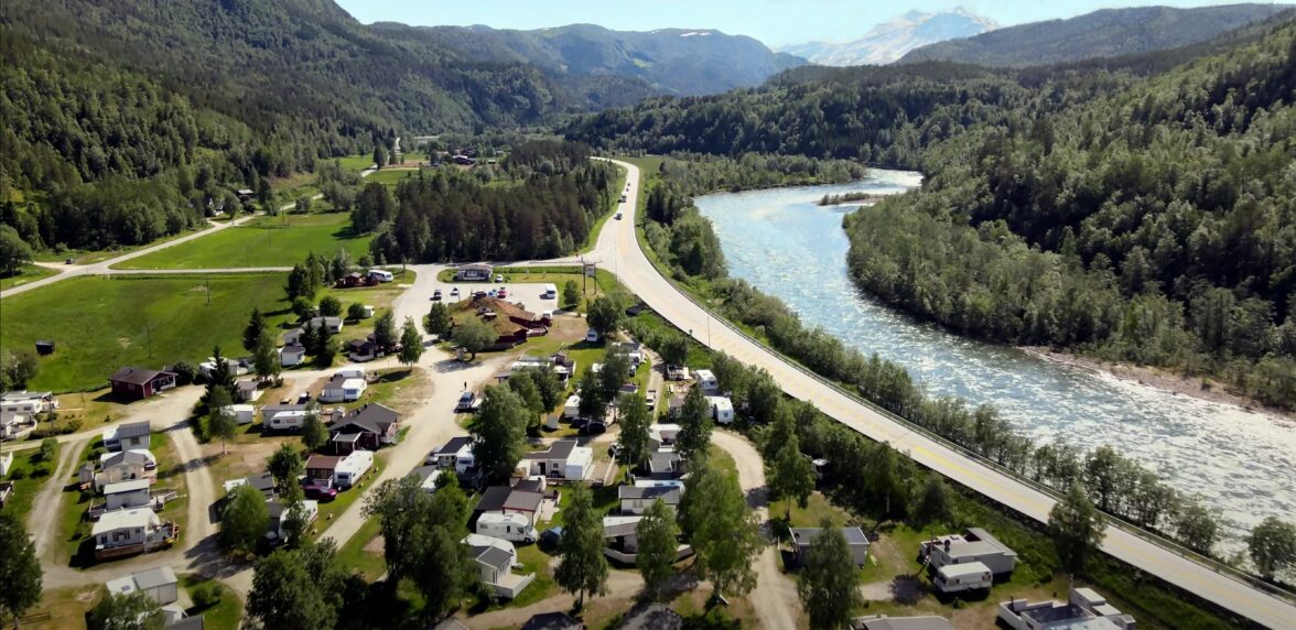
Solvågtind
Solvågtind
Solvågtind is one of the most distinctive mountain peaks in northern Norway. It changes appearance and character depending on both weather conditions and which direction in the sky you see it from. If you are seeing it from the Swedish border, the mountain looks like a volcano rising into the clouds.
Hike Description
Solvågtinden, what a name and what a peak! If you drive over from Sweden or Saltfjellet, it elegantly welcomes you to Salten and Saltdalen. Some would claim that the mountain looks like a volcano rising into the clouds. It may not look particularly welcoming, but if you are in good shape, it is certainly within reach.
Solvågtinden is 1559 meters high and the climb from Storjord to the top is approx. 1400 meters. If you go on the trip, you will therefore have plenty of time to feel your heart beating. The walk is nice to walk, with partial grass and easy-to-go rock formations and rocks. Should you get too hot, there are streams to collect water in. Bathing opportunities can be found in the valley between the north and south peaks in the nameless 1290 lake. Maybe take a break here. The view from the top is impeccable.
This hike is one of Saltens Friluftsråd’s selected 55 captivating hikes in the region.
Getting to Solvågtinden
Drive E6 to Storjord, and park at Saltdal Tourist Center or along the road into Junkerdalsura. If you start from the tourist centre, follow the forest road north, after you have crossed the suspension bridge over the river. After approx. 700m, turn right along the path. Storjordkoia with rest facilities is passed after 2.5 km. The path is followed until you come out into the snow plain at around 850 m above sea level. Here the path becomes more indistinct, but there is good terrain to walk in. Keep the direction north and put your nose towards the gap between the two peaks, from here there is a good path all the way to the top. Water at 1290m above sea level is passed on the north side. There is an airy passage before you reach the south peak. Be careful when walking on the cliffs.
Travel by Public Transport
The easiest way to get to Storjord is by bus or your own car. Buses run from Bodø and Fauske to Saltdal tourist center with one to two departures per day and approx. 2.5 hour journey.
More Hikes and Activities nearby
Was this helpful?
Thank you for your feedback!
Thank you for your feedback!
We are reading all feedback, but unfortunately we can not respond.


