
Høgfjellknubben
Høgfjellknubben
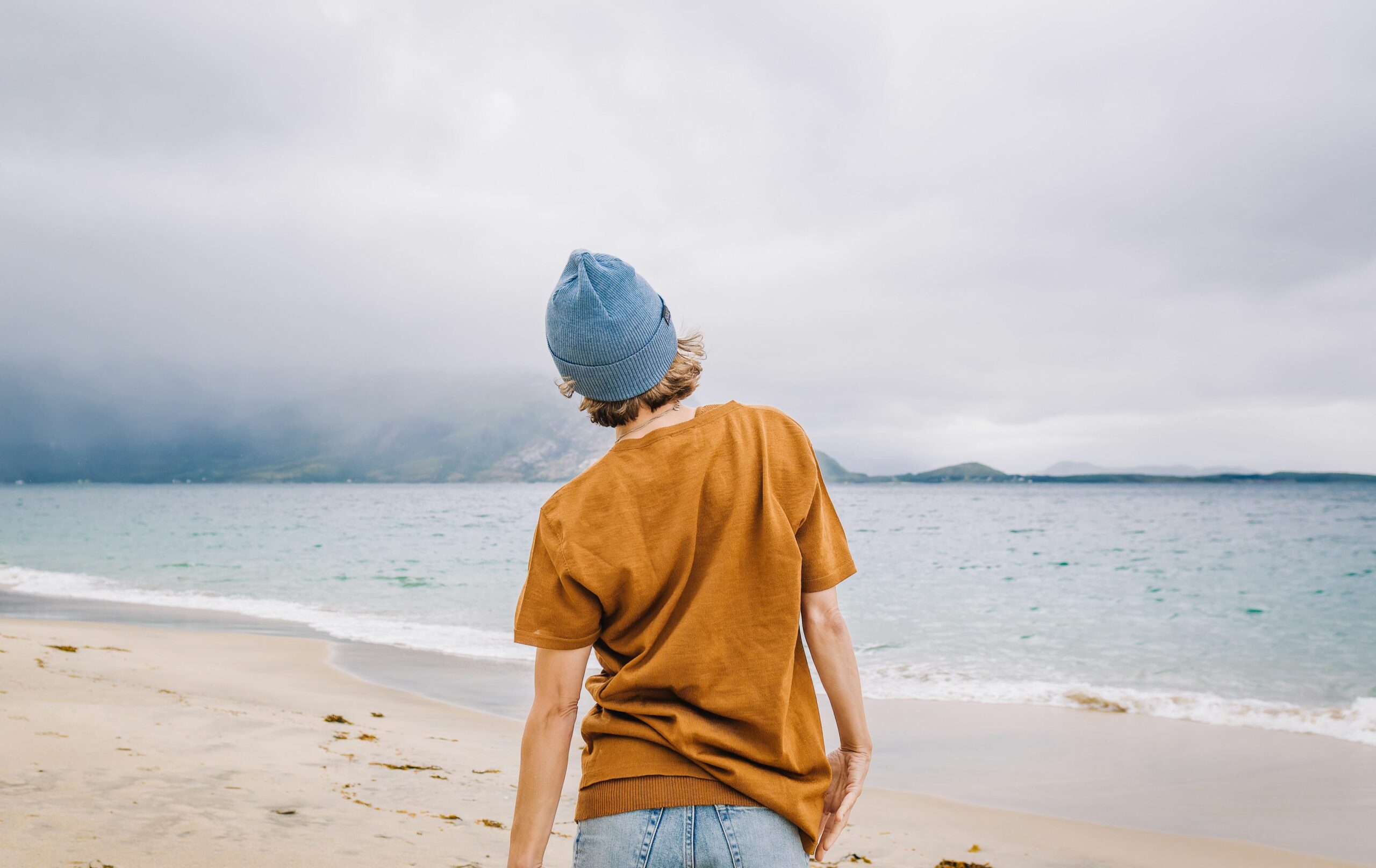
If you want a fantastic view without a demanding hike to the top, Høgfjellknubben is a great hiking destination.


Hiking Description
The trip is the starting point for several nice hiking destinations in the area. On the way up, you pass Lauvvatnet, which is a source of drinking water in Gildeskål. If you want a shorter trip, Lauvatnet is an excellent destination for families with small children. If, on the other hand, you want to take a longer walk than Høgfjellknubben, you can go on to the slightly higher Sandnestinden.
The Marisko orchid grows here and can be enjoyed up close. But don’t take the flower home with you. It is protected.
The trip is one of the Salten Outdoor Activities Council’s selected 55 captivating hikes in the region.
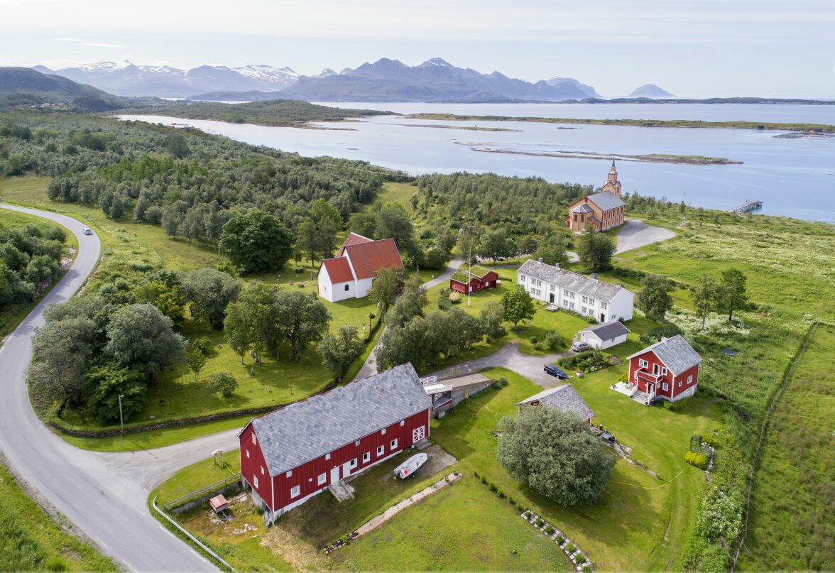
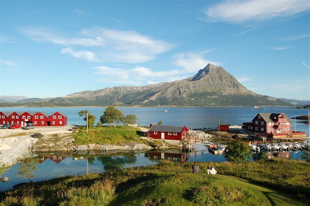
To do nearby
Getting to Høgfjellknubben
Drive north through the center of Inndyr and take the exit to Åsveien up to the light trail. Park at the information board for Bakåsen. G
to continue to Vollan and follow the road up to Smiten. When you are at Smite, you have Lauvvatnet on your right. Take off on the path towards Høgfjellknubben. A great view where you can see the nearby islands, the Lofoten Wall and the beautiful mountains that lie on the border with Meløy municipality.
Travel by Public Transport
A bus runs from Bodø/Ørnes to Inndyr, with a bus change at Skaugvoll and has several daily departures. It is only approximately 1 kilometer walk from the bus stop to the trail’s starting point.
You can also take the fast boat from Bodø to Inndyr, Monday to Friday. From the express boat dock, it is approximately 1.5 km to the starting point of the tour.
More hikes and activities nearby


Was this helpful?
Thank you for your feedback!
Thank you for your feedback!
We are reading all feedback, but unfortunately we can not respond.