 Frank R. Dahl
Sandhornet
Sandhornet
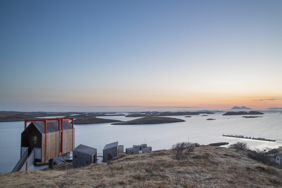
For many, this is the ultimate hike in Gildeskål. From an elevation of almost 1000 meters, on clear days you’ll have a fantastic view towards Lofoten and Steigen in the north, Værøy and Røst in the west, Træna on the Helgeland coast, Svartisen in the south, and the mighty mountains stretching all the way to Sulitjelma and Sweden in the east.


Hiking Description
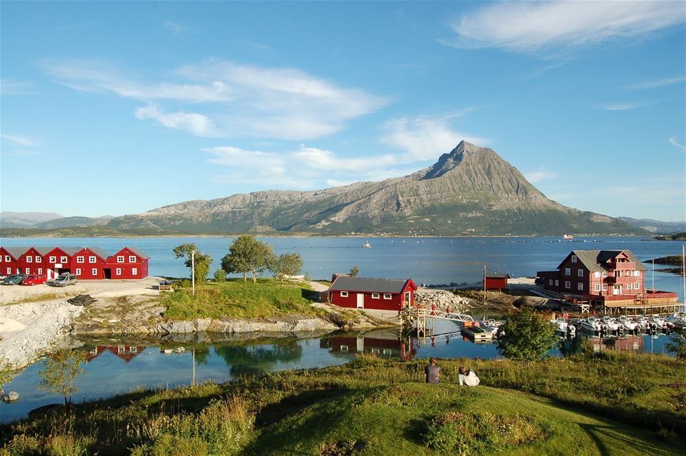
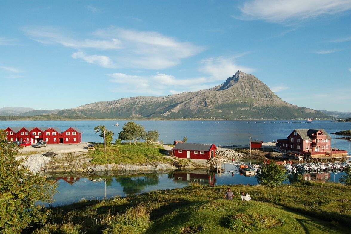
Sandhornet stands as one of the most distinct landmarks in South Salten with its tall and slender shape and pointed summit. It was at the foot of this mountain that the poet-preacher Elias Blix grew up. It’s no wonder that the nature of Nordland strongly influenced his poetry. Here, the impressions of nature are powerful, with luminous beaches, lush slopes, and the towering peak of Sandhornet at your back.
TThis hike is one of Salten Friluftsråd’s selected 55 captivating hikes in the region.
Getting to Sandhornet
The hike starts from the ferry port in Horsdal on Sandhornøy. Head east along the shore, and you’ll find the trail that follows the tractor road from the boathouses and continues to the mouth of Stjernåga. From there, a clear trail runs on the east side of Stjernåga and ascends for a long stretch in Stjerndalen. When you reach the bottom of Stjerndalen, follow the creek westward on the north side of the ridge until you approach the edge on the west side of Sandhornet. Continue along the ridge to reach the summit. The alternative way down is by sledges as long as there is snow.
Sandhornøy is most easily accessible by private car. You can also combine the hike with a fast boat to Våg and continue by bike or bus to Horsdal. It is also possible to park at Sund or take the bus there and then take the ferry to Horsdal. Both the bus and the fast boat allow free transport of bicycles.
More destinations and activities nearby
Gildeskål offers a wealth of experiences. From the summit of Sandhornet, you have a direct view of both the Arnøyene islands and Langsanden, which are great places to visit. The ferry to the Arnøyene islands departs at the foot of the mountain where the hike begins. The ferry can also take you to Sund/Inndyr, which is the municipal center of Gildeskål.
Was this helpful?
Thank you for your feedback!
Thank you for your feedback!
We are reading all feedback, but unfortunately we can not respond.


