World´s end
Verdens ende (End of the World)
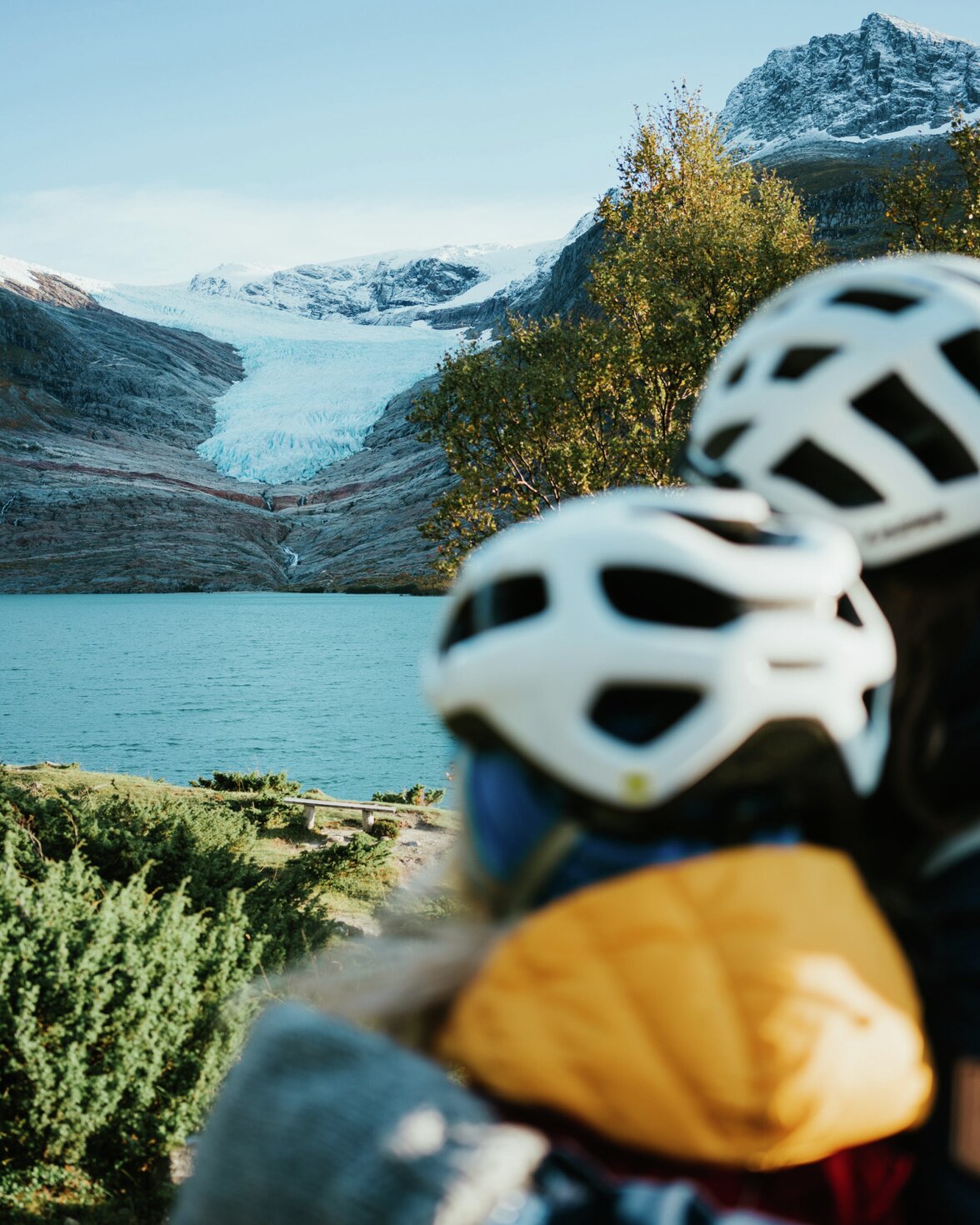
Verdens ende (The end of the world) is located in a scenic area at the meeting point between mountains, fjords and archipelagos. The hiking route is designed for people with disabilities. At Verdens ende, there are great nature experiences for everyone. If you want to take a rest along the way, the area has benches where you can take a break.
There are also detours with fishing spots for people in wheelchairs. Along the hiking route, there is a permanently installed photo exhibition with nature and animal photos. Enjoy them along the way!
Hike Description
Take the trip to Engavågen. Park at Vallvågen boat harbor near Nordtun HelseRehab. From here, the trip goes on a paved hiking trail all the way to the end of the world, the headland outside Nordtun HelseRehab.
On the trip out, there are several detours that you can choose to explore. The asphalted walking path is well suited for people in wheelchairs, if you are a little unsteady on your feet, or want to take your pram on a walk.
The trip to the end of the world can be shortened if you choose to park at Nordtun HelseRehab.
Things to do nearby
Getting to Verdens ende
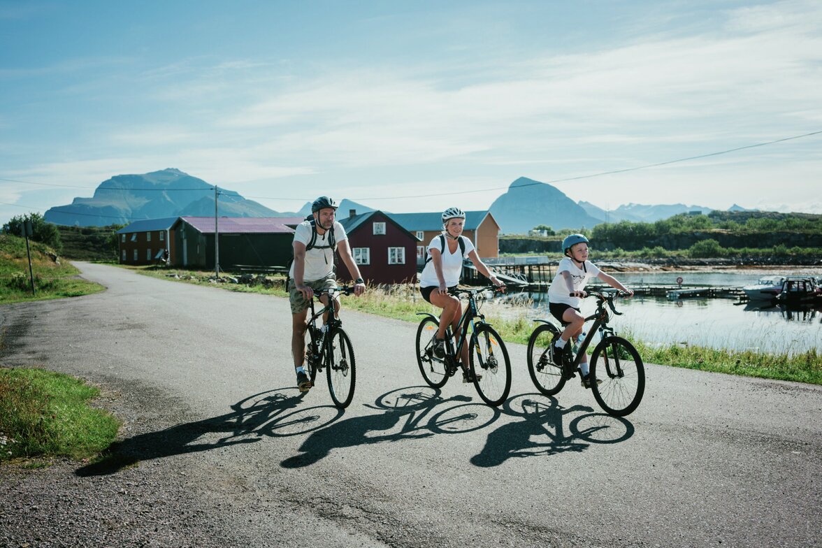
The easiest way to get to Verdens ende is with your own car. You can also combine the trip with a speedboat to Grønøy and a bicycle.
Express boat direct from Bodø/Ørnes to Grønnøy (Nordlandsekspressen), daily departure, 2 hour journey.
Bus from Grønnøy to Engavågen in correspondence with the boat.
Bus from Bodø/Ørnes with correspondence to Engavågen/Enga school. One to two daily departures. One to two kilometer walking distance from Enga to the trail’s starting point.
You can take your bicycle for free on both the express boat and the bus.
Hikes and Activities nearby
Was this helpful?
Thank you for your feedback!
Thank you for your feedback!
We are reading all feedback, but unfortunately we can not respond.

